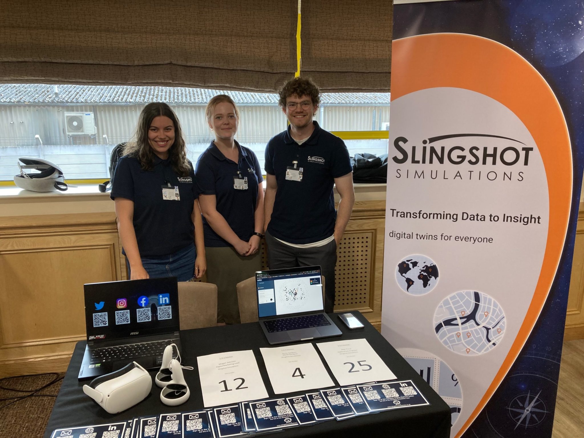
The team from Slingshot Simulations attended Nottingham’s Centre for Doctoral Training (CDT) event this May and were awarded the winners of the …
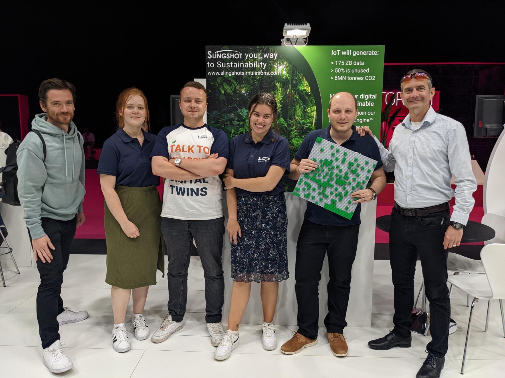
Slingshot Simulations announced a partnership with the Rainforest Trust on a new sustainability initiative at this month’s Internet of Things Solutions World Congress …

At the heart of any data management discipline is the need to find meaning in the data around us. Semantic modelling is …

How will Slingshot Simulations save acres? Slingshot Simulations, the Leeds UK based tech start-up, have partnered with The Rainforest Trust. They have …

Knowledge graphs, also known as a semantic networks, are an important and highly practical technology used by businesses to drive intelligence into …

In order to compete in an increasingly data-rich landscape, businesses are investing significantly in automated and real-time data analytics. By retiring time-consuming …

Green innovation is the creation of new technologies which aim to reduce environmental risks. This Leeds Digital Festival Slingshot Simulations will present …

As we know, there are numerous advantages of digital twins. They are widely known, a digital representation of a real-world system or …

Everyone’s talking about the metaverse – a future in which our physical and digital worlds merge, in fully immersive virtual reality. Many …