Leeds-based simulation start-up offers water-saving solution to all UK water companies
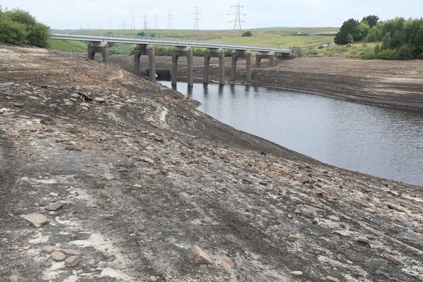
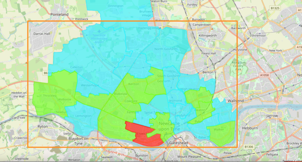
Slingshot Simulations, Leeds-based simulation start-up and tech company based in the Nexus Building, have offered a ground-breaking solution to water companies in the UK. In the face of drought announcements and hosepipe bans, the CEO of Slingshot Simulations, David McKee, has personally written to water companies to offer a technical solution. After the driest July […]
Best industry showcase CDT: Team wins award at the Innovation Geospatial Festival
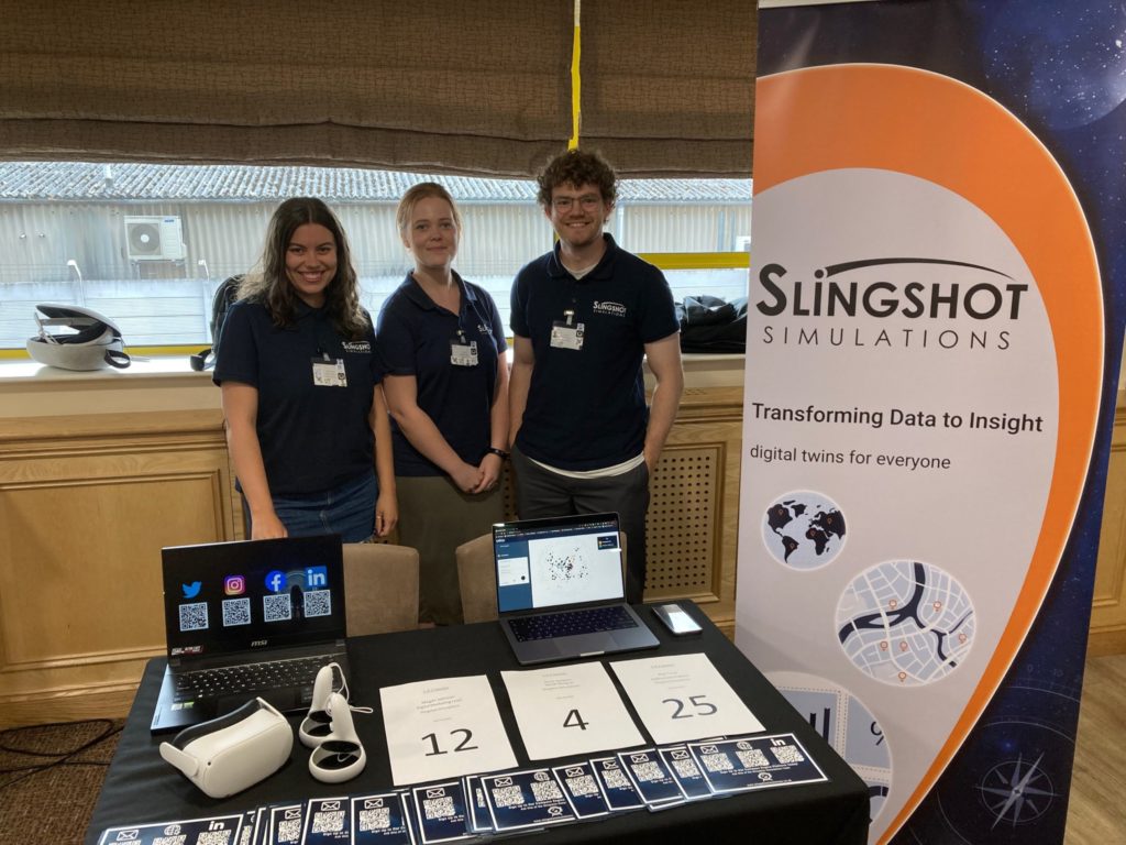
The team from Slingshot Simulations attended Nottingham’s Centre for Doctoral Training (CDT) event this May and were awarded the winners of the best industry showcase CDT. The Slingshot team at the event: left to right, Megan Johnson, Anna Goldson, Alex Trout. What is the CDT and what do they do? The CDT is a collaborative […]
Why A New Approach to Geospatial Data Is Needed Post-Pandemic
Also referred to as “spatial data”, geospatial data is the term used to describe any type of data with a geographic component. From mapping and navigation to fast food delivery, the development of geographic information science has benefitted a diverse range of organisations around the world and geospatial data is fast becoming one of the […]
The Rainforest Trust And Slingshot Simulations Users Saved 121 Acres Of Rainforest In 3 Days
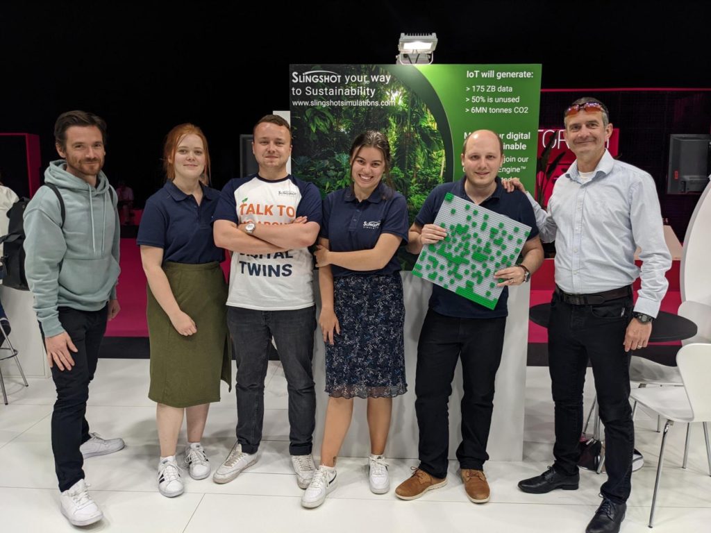
Slingshot Simulations announced a partnership with the Rainforest Trust on a new sustainability initiative at this month’s Internet of Things Solutions World Congress (IoTSWC) in Barcelona – with immediate results. The Slingshot Simulations team, from left to right: Pete Mills, Anna Goldson, Joe Leach, Megan Johnson, David McKee and Robert Harwood Slingshot Simulations, the software-as-a-service (SaaS) […]
How can geospatial technology benefit your dissertation?
Geospatial technologies are tools which allow users to geographically map and analyse locational data. This data is typically gathered from sources such as: census resources, satellite imagery, weather data, drawn images and social media, among others. In order to fully incentivise and utilise collected data for academic work, it is key to ensure that the data is presented in a beneficial clear way, shared, analysed, and combined with relevant contexts and sources. But how can geospatial […]
SatSense joins Yorkshire Geospatial Twin Project
We are excited to welcome SatSense onto the Yorkshire Geospatial Twin project, which is looking to demonstrate the world’s largest digital twin project across the 12,000 square miles of Yorkshire and the cities of Leeds, York and Hull. SatSense provide innovative ground movement analytics derived from satellite radar, which can be presented in the Slingshot […]