How can geospatial technology benefit your dissertation?

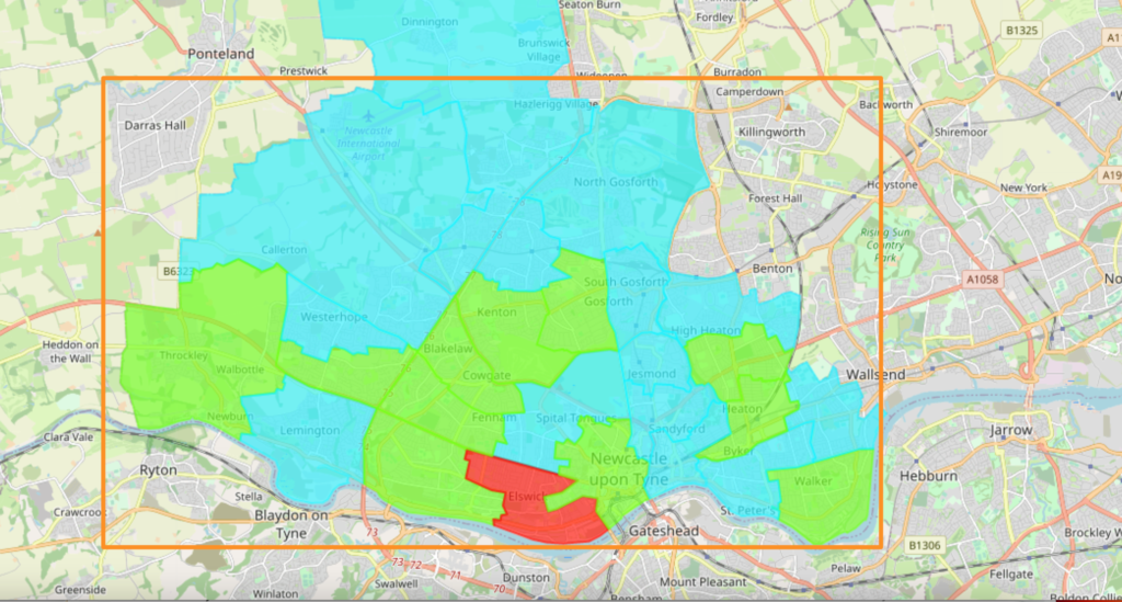
Geospatial technologies are tools which allow users to geographically map and analyse locational data. This data is typically gathered from sources such as: census resources, satellite imagery, weather data, drawn images and social media, among others. In order to fully incentivise and utilise collected data for academic work, it is key to ensure that the data is presented in a beneficial clear way, shared, analysed, and combined with relevant contexts and sources. But how can geospatial […]
